休士頓新聞
回首頁 |
|

City of Houston Launches New Arterial Travel Time Tool in West Houston
(03/03/2011)
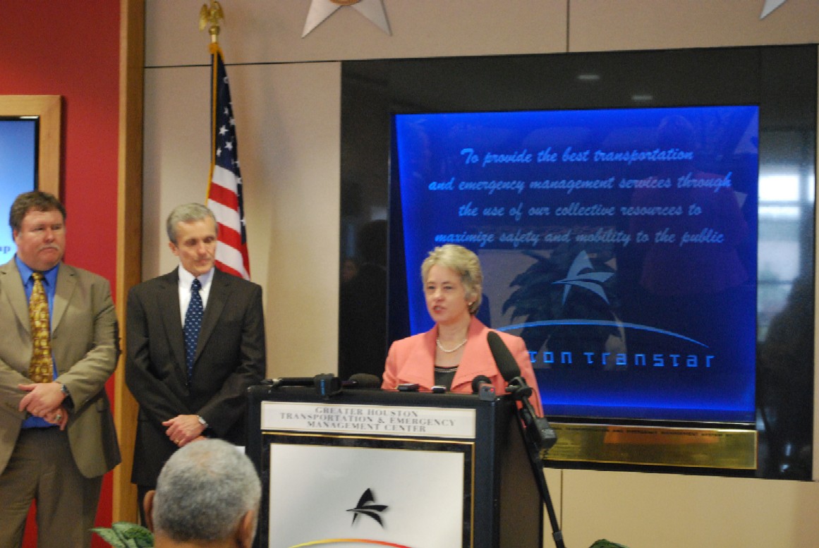
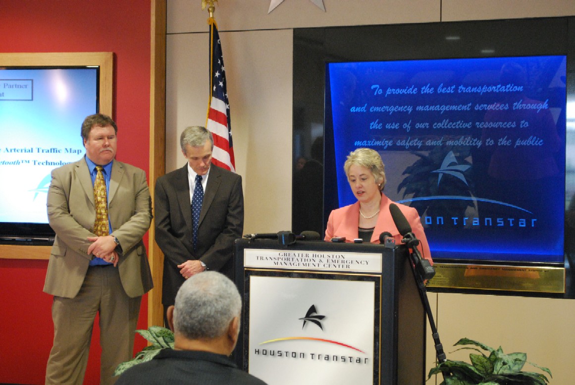
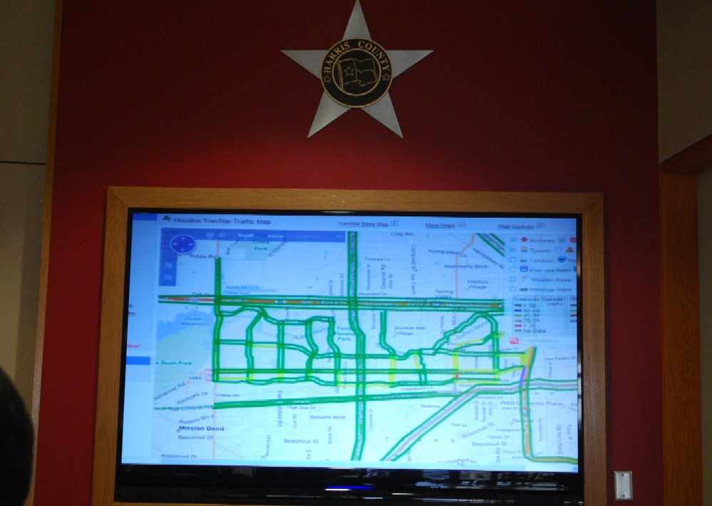
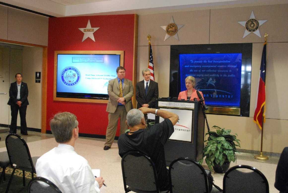
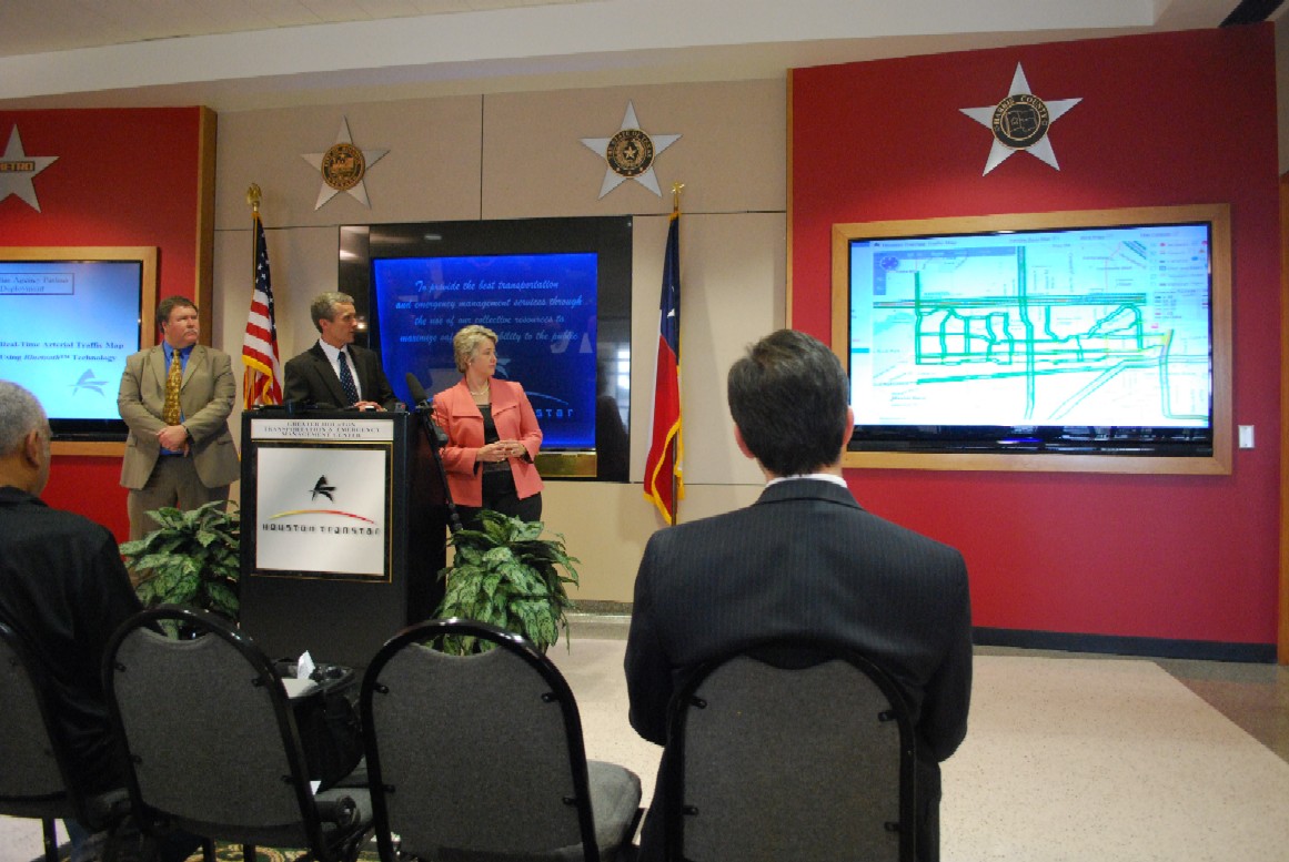
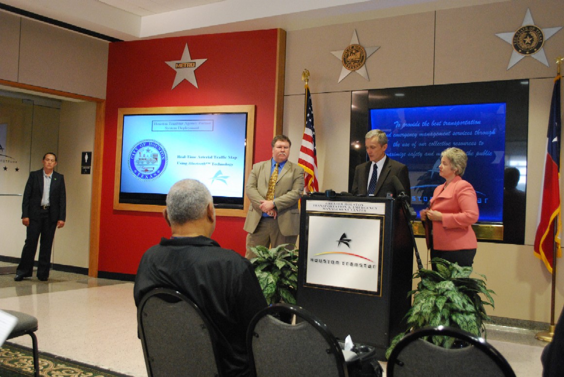
Houston Mayor Annise Parker and the City of Houston’s Department of Public Works & Engineering announced a new traffic management tool for Houston drivers using state-of-the-art Bluetooth technology. This probe-based travel time approach allows drivers to see real-time travel flow via the Houston TranStar web site using Bluetooth readers, placed at key locations in west Houston. Commuters in the area will now be able to navigate around potentially congested roadways, saving time and money.
It’s the largest known deployment of Bluetooth technology by a governmental agency nationwide.
“The nearly 250,000 people who live here, as well as the 12.7 million people who work in and travel through this area, will greatly benefit from this new technology,” said Mayor Annise Parker. “We know that west Houston is one of those areas experiencing increased growth.”
In the project’s early research stage, using previous technology with toll tag readers as the identifiers was priced at $90,000 per location. The newer, Bluetooth-based devices were deployed at a total cost of $50,000 along with the utilization traffic signals in the service area. The City’s total cost avoidance is approximately $4.5 million.
The Bluetooth Readers identify an anonymous identification (ID) addresses associated with Bluetooth devices such as cell phones, headsets and automobiles. Those addresses are then matched between intersections and the travel time is calculated. The anonymous Bluetooth ID number is deleted once a match has been made.
The 62-square-mile area is bounded by IH-10 (Katy Freeway) on the north, IH-610 (West Loop) on the east, the Westpark Tollway on the south and up to and including SH-6 on the west. Approximately 12.7 million vehicle miles travel daily through this corridor, covering four major employment centers: Uptown Houston, Westchase, Memorial City and the Energy Corridor.
Funded by the City of Houston, this Bluetooth-based AWAM (Anonymous Wireless Address Matching) sensor technology was researched and developed by the Texas Transportation Institute (TTI), a part of the Texas A&M University System. It is the first phase of a wider Intelligent Transportation Systems deployment that will include Pan-Tilt-Zoom Cameras and Dynamic Message Signs. The success of this project may lead to expanded coverage in other areas of the City. The map can be viewed at www.houstontranstar.org.
圖一:
圖二:
圖三:
圖四:
圖五:
圖六:
(所有圖片皆由AL攝影)
( 回首頁 Houston eWIND )
|
|
. |